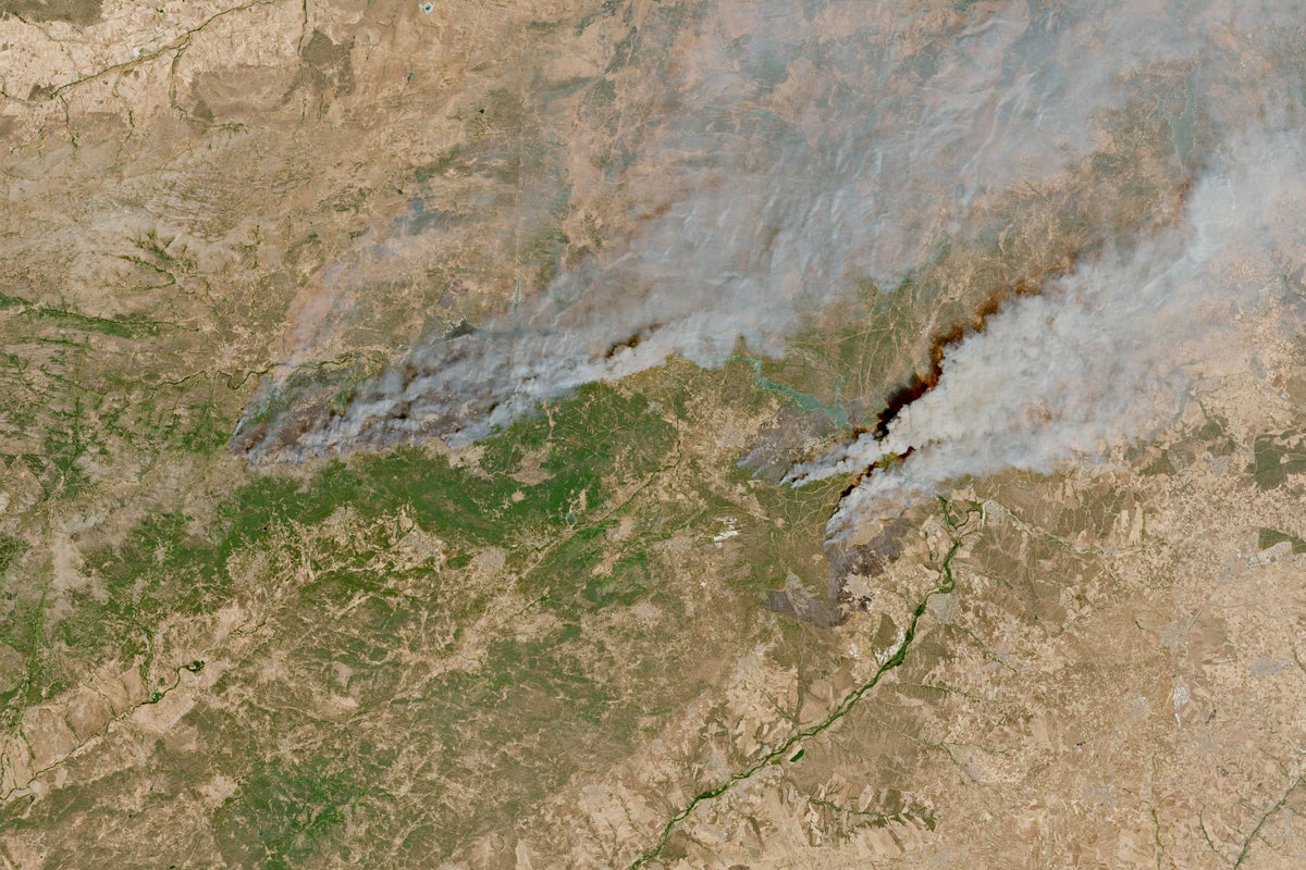
Wildfires don't care about your vacation plans. Every single summer, parts of southern Europe turn into tinderboxes. If you're heading out to explore the stunning countryside of southern Europe, you need to pay attention. You can't just cross your fingers and book a ticket without looking at the map.
France and Spain face massive seasonal blazes. Parts of the Mediterranean coast, the interior valleys, and the pine forests turn dangerously dry when temperatures spike. Knowing which areas face the highest risk keeps you safe. It also stops your trip from turning into a nightmare evacuation. For a more detailed analysis into this area, we recommend: this related article.
Let's look at the reality on the ground.
The Hotspots You Need to Watch
Certain regions catch fire more often than others. Geography, climate, and vegetation create a ticking clock every summer. If you're packing your bags, check your route against these high-risk zones. For additional details on the matter, extensive reporting is available on The New York Times.
The French Mediterranean and Corsica
The south of France gets brutal heatwaves. The Var department and the Bouches-du-Rhône region near Marseille face severe threats annually. Dry winds called the Mistral fan small sparks into roaring walls of flame within minutes.
Corsica deals with similar dangers. Dense brush covers much of the island. When drought sets in, that brush turns to powder. A single discarded cigarette or lightning strike triggers chaos. Local authorities close access to regional parks during peak danger days. You won't hike those trails if the risk level hits red.
Spain and the Escalating Interior Risk
Spain deals with an even larger scale of destruction. The regions of Andalusia, Extremadura, and parts of Castile and León record massive burn scars year after year. Galicia in the northwest also suffers heavily due to dense eucalyptus plantations that burn fiercely.
It's not just the countryside. Fires frequently creep close to towns and major highways. When thick smoke blankets the roads, visibility drops to zero. Traffic halts entirely. You could find yourself stranded on a rural highway with no easy way out.
How to Check Conditions Before You Go
Don't rely on random social media posts when disaster strikes. Use official government trackers. They update hourly and give you exact evacuation zones.
In France, the national forestry office and local prefectures issue daily risk maps. They use a color-coded system ranging from green to very severe black. If a forest is closed, stay out. Breaking those rules brings heavy fines and puts rescue crews in danger.
Spain relies on civil protection agencies like Protección Civil. They broadcast emergency alerts straight to mobile phones within affected zones. Keep your phone charged and make sure emergency alerts are turned on.
Smart Steps for Travelers on the Move
Smart planning beats panic every single time. Here is what you actually need to do if you're traveling through these regions during peak heat.
- Rent a car with a full tank: Never let your fuel gauge drop below half. Gas stations might lose power or sit inside evacuation corridors.
- Download local apps: Grab apps like France's MesVoisins or official civil defense tools to track real-time local hazards.
- Keep your documents close: Pack your passports, insurance details, and cash in a quick-grab bag. If you have to leave your hotel in five minutes, you won't have time to pack.
- Respect fire bans: Never throw cigarette butts out of car windows. Never start campfires. The authorities enforce zero tolerance.
Wildfire season in Europe isn't going away. Climate shifts mean longer dry spells and hotter summers. Plan ahead, watch the maps, and stay flexible. Your safety always beats any itinerary.