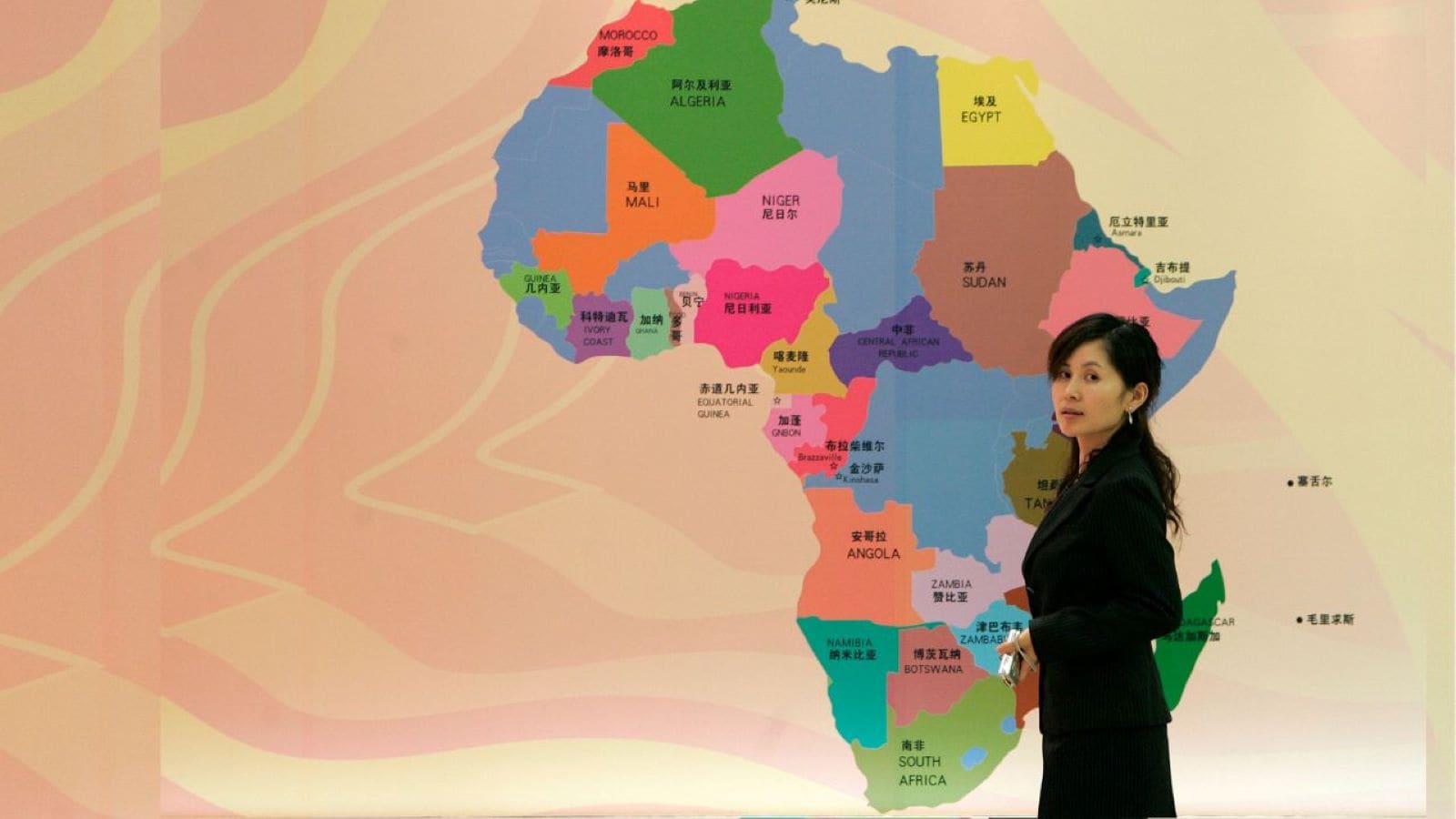
The United Nations General Assembly recently voted 164 to one to endorse the Equal Earth projection, effectively challenging the centuries-old dominance of the Mercator map. Spearheaded by Togo on behalf of the African Union, the resolution targets a geographic illusion that has minimized Africa's physical scale for nearly five hundred years. While non-binding, this diplomatic push forces an uncomfortable reckoning with how visual bias shapes geopolitical power, education, and international development priorities.
The Mathematics of Distortion
To understand why a map vote triggered a diplomatic brawl—with the United States standing as the lone dissenting vote—one must look at the geometry of the flat earth problem. Representing a three-dimensional globe on a two-dimensional plane requires mathematical compromise. Every flat map distorts something, whether area, direction, distance, or shape.
Commissioned in 1569 by Flemish geographer Gerardus Mercator, the traditional map served a singular master: European maritime navigators. By cylinder-projecting the globe so lines of latitude and longitude intersect at right angles, sailors could plot a straight compass course across treacherous oceans. That navigational utility came at a staggering visual cost.
As landmasses move away from the equator toward the poles, they expand exponentially on a Mercator grid. Greenland appears roughly equal in size to the entire continent of Africa, despite Africa being roughly fourteen times larger. North America, Europe, and Russia balloon into gargantuan landmasses, while equatorial regions like South Asia, Latin America, and Africa compress into misleading miniatures.
For generations, classrooms worldwide relied on this projection. Children absorbed the silent, visual curriculum that northern industrial powers occupied vast expanses of the planet, while the Global South remained geographically compressed.
Behind the Diplomatic Push
The initiative, championed under the banner of the "Correct the Map" campaign, transcends academic cartography. Diplomats in Lomé and Addis Ababa argued that spatial distortion reinforces systemic marginalization. When international institutions allocate resources, design development frameworks, or evaluate economic weight, human psychology is inextricably linked to visual perception.
Togo’s Foreign Minister Robert Dussey framed the debate in stark terms before the General Assembly, noting that maps actively construct reality rather than merely reflecting it. When an entire continent steering rapid demographic shifts and economic growth is visually shrunken to the dimensions of an Arctic island, cognitive dissonance follows.
France broke ranks with traditional Western voting blocs to co-sponsor and support the resolution. French Foreign Minister Jean-Noël Barrot acknowledged that correcting a deeply skewed visual baseline serves as a fundamental act of truth. Conversely, Washington defended the status quo. U.S. representatives dismissed the resolution as superfluous, arguing that the international body should ignore sixteenth-century cartography and concentrate strictly on contemporary economic and security crises.
The Practical Reality of Equal Earth
Critics of the shift point out that no flat map is entirely pure. Developed in 2018 by cartographers Tom Patterson, Bernhard Jenny, and Bojan Savric, the Equal Earth projection remedies area distortion by ensuring countries appear in correct proportion to one another. However, to preserve these true surface areas, the projection accepts minor distortions in continental shapes and spatial angles. Furthermore, because the resolution carries no enforcement mechanism, textbook publishers, software developers, and digital navigation giants retain absolute autonomy over their default settings.
Change will not arrive overnight via mandate. Instead, transformation depends on voluntary adoption by school districts, media outlets, and tech conglomerates. Google Maps and open-source cartography platforms now face mounting pressure from civil society groups to offer equal-area toggle options or switch baselines altogether.
The UN vote exposes a deeper truth about human institutions. We spend centuries treating utility-driven artifacts as objective reflections of nature. By shattering the illusion of the Mercator standard, the international community has opened a door to how geographic power is framed, consumed, and reproduced across borders.