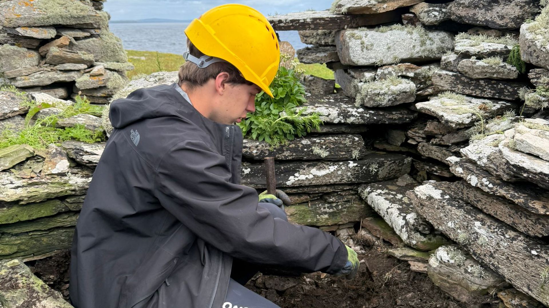
Archaeological field discoveries are frequently reported through the lens of serendipity, yet structural finds on isolated landmasses are governed by strict geographical and economic variables. The recent identification of a suspected medieval structure on the uninhabited Scottish island of Swona—unearthed by students from Gordonstoun working alongside the Orkney Research Centre for Archaeology—offers a case study in how topographical mapping, historical cartography, and material constraints intersect. Evaluating the significance of this site requires stripping away media hyperbole to examine the construction mechanics, locational economics, and dating constraints inherent to early medieval Norse expansion in the Northern Isles.
The Typology of Norse Ecclesiastical Sites
Identifying a structure as an early medieval Norse church relies on a specific set of architectural markers rather than isolated artifacts. On Swona, the primary indicators include dry-stone masonry executed without clay bonding or mortar, an orthogonal orientation aligned with liturgical norms, and an internal step leading to an altar foundation.
Dry-stone construction was the default building method in treeless environments across Orkney and Shetland. Without timber framing or accessible lime kilns for mortar, builders utilized flat-bedded flagstones gathered from local coastal shelves. The absence of mortar does not inherently denote antiquity, as vernacular crofting architecture utilized the same dry-stone technique centuries later. Therefore, differentiation between a tenth-century Norse chapel and a later agricultural outbuilding depends on subterranean stratigraphy.
The discovery of the foundational altar step beneath subsequent architectural alterations provides the critical structural discriminator. Early medieval chapels in the North Atlantic region typically followed a single-cell rectangular floor plan. The spatial economy of these buildings reflects low-density settlement patterns where a local chieftain or extended farming household required a private or semi-private locus for Christian worship prior to the formal establishment of parish systems.
Locational Economics and Island Biogeography
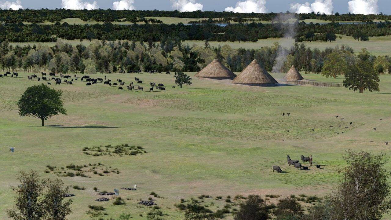
Swona sits within the Pentland Firth, a stretch of water notorious for tidal streams that reach speeds exceeding ten knots. This geographical reality dictates the site's historical accessibility and strategic value. An uninhabited island today, Swona functioned differently during the Norse period, acting as a maritime waystation and a pastoral outpost.
The operational parameters of the island reveal three distinct layers of human activity:
- Prehistoric settlement cores located in the central arable zones, providing initial evidence of sustained habitation.
- Defensive or navigational infrastructure, including circular ditches interpreted as Viking warning beacon sites designed to signal fleet movements through the Pentland Firth.
- Ecclesiastical insertion, where the placement of a chapel consolidated ideological control over a strategic maritime choke point.
Maritime visibility was the primary driver for site selection in Norse settlement patterns. Control over the firth required visual communication lines between Caithness and the southern Orkney islands. The presence of a chapel adjacent to restricted landing points—evidenced by historical barrier walls blocking specific access corridors—suggests that the location combined spiritual function with territorial monitoring.
The Methodological Bottleneck of Chronological Dating
Field identification based on architectural typology remains an educated hypothesis until validated by hard science chronometric techniques. The structural remains on Swona currently occupy a transitional phase between visual attribution and empirical verification.
The primary analytical mechanism to resolve this ambiguity is radiocarbon dating applied to organic samples recovered from secure stratigraphic contexts beneath or contemporaneous with the foundational floors. Organic material trapped beneath dry-stone footings provides a terminus post quem—the earliest possible date for construction.
Environmental factors on Swona complicate sample integrity. Shallow topsoils exposed to salt spray, intensive pasturing by feral cattle populations, and centuries of structural reuse create a high risk of bioturbation and carbon contamination. Charcoal fragments or bone collagen retrieved from undisturbed floor layers must undergo accelerator mass spectrometry (AMS) dating to isolate marine reservoir effects common to coastal archaeological sites, where marine-diet carbon can skew radiocarbon ages older than their actual chronological window.
Operational Parameters for Archaeological Field Verification
To transition the Swona discovery from a provisional attribution to a validated historical record, analytical protocols must focus on spatial point-cloud recording of the masonry layers, micromorphological analysis of floor sediments to detect organic residues of human occupation, and comparative morphological cataloging against contemporary Tenth and Eleventh-century foundations in Mainland Orkney, Egilsay, and Wyre.
Resource allocation for remote island excavations requires balancing logistical drag against data yield. Because field operations depend heavily on constrained weather windows in the Pentland Firth, future interventions must prioritize targeted trenching around the structural thresholds rather than broad horizontal stripping. This minimizes site disturbance while maximizing recovery of diagnostic material culture necessary to establish the absolute chronology of the settlement tier.